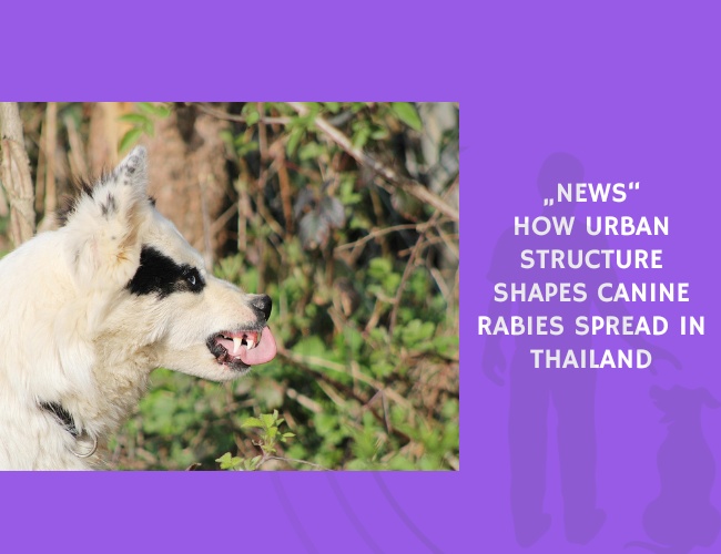
Published in PLoS Neglected Tropical Diseases, this study by C. Sararat, Suttikiat Changruenngam, A. Chumkaeo, A. Wiratsudakul, W. Pan-ngum, and Charin Modchang investigates how geographical structures affect the spread of canine rabies in Thailand. Rabies remains a persistent global health concern, particularly in developing countries, despite effective vaccination tools.
The researchers developed a stochastic individual-based model that incorporates the exact spatial configuration of buildings and roads. Dog spatial distribution was estimated from building locations, while roads were modeled as pathways facilitating dog movement. Two contrasting districts—Hatyai (high risk) and Tepha (low risk)—served as case-study regions.
The model revealed that dense concentrations of buildings and roads in Hatyai create conditions that facilitate faster and more extensive rabies transmission compared to Tepha. In high-density areas, dogs encounter one another more frequently, increasing opportunities for viral spread and making the disease more persistent.
The researchers next evaluated the effects of several rabies-control interventions: (1) Reducing dog population size (2) Restricting the movement of owned dogs (3) Increasing dog-vaccination coverage
The findings showed that reducing dog numbers alone is insufficient to prevent rabies transmission in high-risk areas like Hatyai. Because spatial structure drives contact opportunities, simply removing dogs does not reliably interrupt transmission chains.
Owned dog confinement substantially reduced the likelihood of rabies spread by limiting contact rates, suggesting that management of dog movement is an underutilized but powerful intervention.
Finally, the model demonstrated that higher vaccination coverage is required in high-risk, high-density regions compared with low-risk areas. In settings like Hatyai, achieving control may require vaccination levels significantly beyond standard thresholds.
Overall, the study underscores that geographical structure, dog movement, and vaccination interact synergistically to determine rabies risk. Effective control strategies must therefore be tailored to local spatial contexts rather than relying on one-size-fits-all approaches. The results provide actionable insight for public-health planning in Thailand and other regions facing persistent canine rabies.
Source: Sararat, C., Changruenngam, S., Chumkaeo, A., Wiratsudakul, A., Pan-ngum, W., & Modchang, C. (2022). The effects of geographical distributions of buildings and roads on the spatiotemporal spread of canine rabies: An individual-based modeling study. PLoS Neglected Tropical Diseases. Published May 1, 2022.